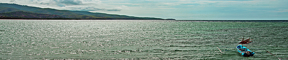
The Ministry of Transport and Communications has requested the cadastral mapping of certain areas in Tibar Bay, as indicated with orange on the below map:
- to identify any claims on the land that is proposed to be used for the Tibar Bay Port PPP, and
- to identify any claims on the neighbouring land that may be indirectly affected by the construction and operation of the Port. It should be noted that this is the largest part of the area mapped.
This information will be used to:
- negotiate land acquisition with the owners of private land needed for the Port, and
- prepare adequate mitigating measures to minimize the impact of Port construction and operation on adjoining land users and the environment.
On August 1, 2014, a meeting was held in Tibar with the community to inform about the data collection for the cadastral and social mapping of the area. The meeting was chaired by Ministry of Transport and Communications, with the participation of about 65 members from the Tibar and Ulmera sucos as well as the sub-district administrator of Bazartete.
The community was cooperative and willing to meet with the members of the Technical Team conducting the data collection. This took place in August and September with teams from Secretary of State of Fisheries, Ministry of Social Solidarity, Secretary of State for Arts and Culture, and National Directorate for Land, Property and Cadastral Services under the Secretary of State for Land and Property, Secretary of State for Environment and Secretary of State of Professional Training and Employment Policy.
The results of the cadastral and social mapping will be published shortly.
Leaflet 6 Cadastral mapping English
Mapa Kadastral ba Rai no mapa sosiál iha Area Portu Tibar
Ministerio Transportes no Komunikasaun husu ona atu halo mapa kadastral ba area balun iha Baia Tibar hanesan tuir indikasaun iha mapa kraik kor laranja. Mapa ida ne’e atu ajuda:
- Identifika se kark iha deklrasaun ruma kona ba rai ne’ebe propoin atu uja ba Projetu PPP Portu Tibar Baia
- Atu identifika deklarasaun ruma husi rai sira ne’ebe besik mai Portu Baia Tibar ne’ebe sei afeta indiretamente husi konstrusaun ka operasaun Portu Tibar.
Informasaun ida ne’e sei uja ba:
- Halo negosiasaun ba rai ne’ebe mak hanesan rai privadu se karik afeta husi projetu ida ne’e no
- Prepara mitigasaun ne’ebe adekuadu atu sukat ka minimiza impaktu husi konstrusaun no operasaun portu ba rai ne’ebe mak atu uja no parte ambiente nian ne’ebe mak karik sei afeta
Iha dia 1 de Agustu, 2014, ekipa tékniku husi ministériu relevantes servisu ba asuntu ida ne’e, hasoru malu ona ho komunidade iha Tibar hodi informa kona ba data komesa rekolha dadus ba mapa kadastral no mapa sosiál iha area ne’ba. Iha sorumutu ida ne’e lidera husi Ministeriu Transporte no Komunikasaun ho partisipasaun maximu husi komunidade iha suku Tibar no Ulmera, mais ou menus ema hamutuk 65 pessoas mak halibu an iha ne’eba, ida ne’e inklui mos Administrador autoridade lokais sira iha area Bazartete.
Komunidade sira iha area ne’eba kopera ho diak tebes no hakarak atu hasoru malu ho ekipa tékniku ne’ebe sei foti dadus. Dadus ba mapa kadastral no mapa sosiál hahú foti ona iha fulan klaran Agustu no Setembru 2014 nia laran ho ekipa husi departamentu peskas husi Secterario estado dos Peskas, Ministeriu solidariedade sosiál, departamentu kultura husi Secretario de Estado de kultura, Diresaun nasionál Terras e Propriedades no kadastral husi Secretario de Estado Terras e Propriedades, departamentu Ambiental husi Secretario de Estado de Ambiente, no ekipa husi SEPFOPE.
Resultado mapa kadastral no mapa sosiál sei publika iha tempu badak nia laran.
Leaflet 6 Cadastral mapping Tetun

